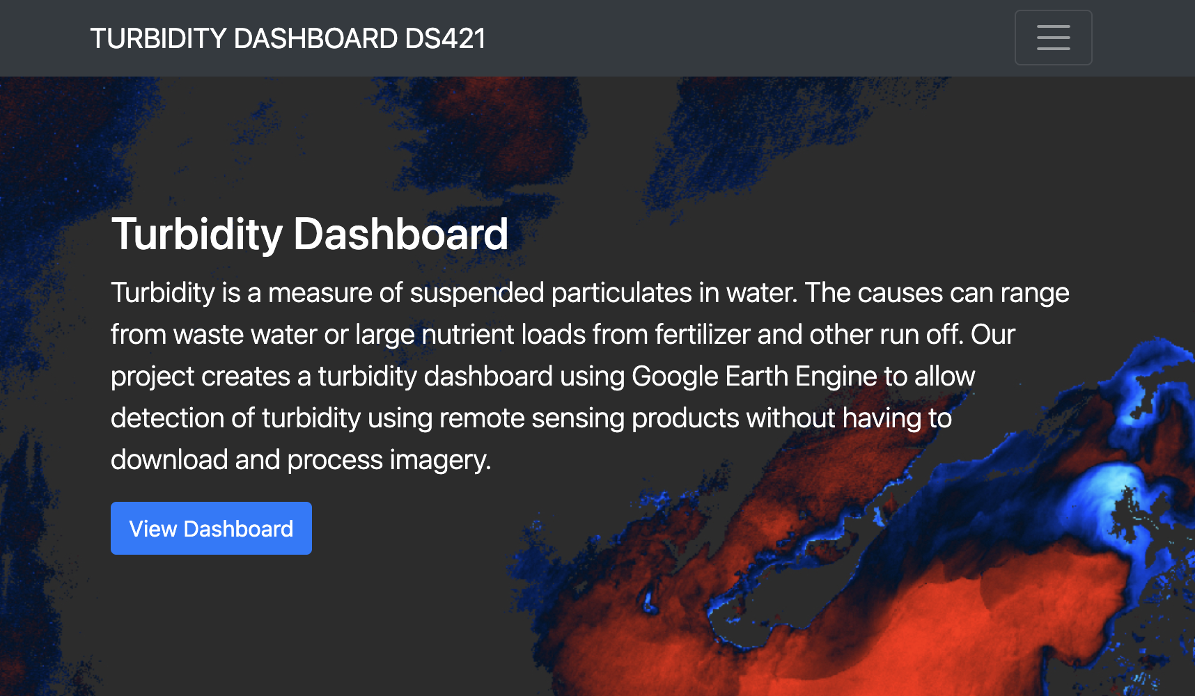
As part of a University of California Berkeley based team including Sol Kim, Rafael Avila and myself, and a broader project team at NASA, we worked on prototyping an algorithm and dashboard that would utilize Landsat imagery to detect water turbidity for monitoring coastal regions in Belize. These kinds of remote sensing techniques are of particular interest given the difficulties and costliness of continuous ground monitoring.
Read more about the research on NASA’s Earth Observatory https://earthobservatory.nasa.gov/blogs/fromthefield/2019/06/03/on-the-ground-in-belize-to-improve-how-satellites-see-water-quality-from-space/
Our dashboard and work are all open source on https://turbidity-team.github.io/ https://github.com/turbidity-team
Our project team at UC Berkeley was supported by the National Science Foundation’s Data Science for the 21st Century Fellowship program.